Arnoud suggested adding a map of my road trip, which I think is a good idea. So here it is.
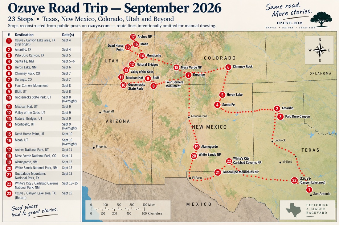
In total I drove about 3000 miles ( 4800km) which was very enjoyable.
Arnoud suggested adding a map of my road trip, which I think is a good idea. So here it is.
In total I drove about 3000 miles ( 4800km) which was very enjoyable.
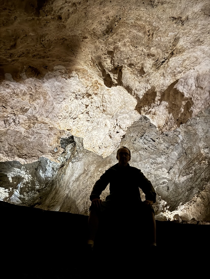
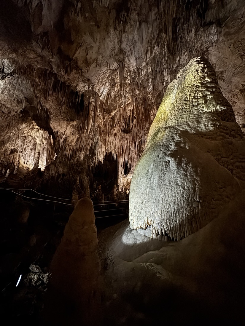
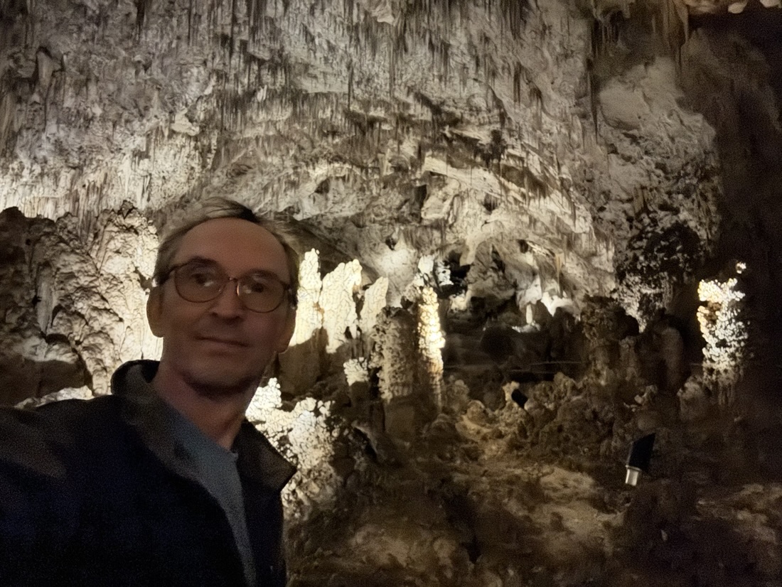
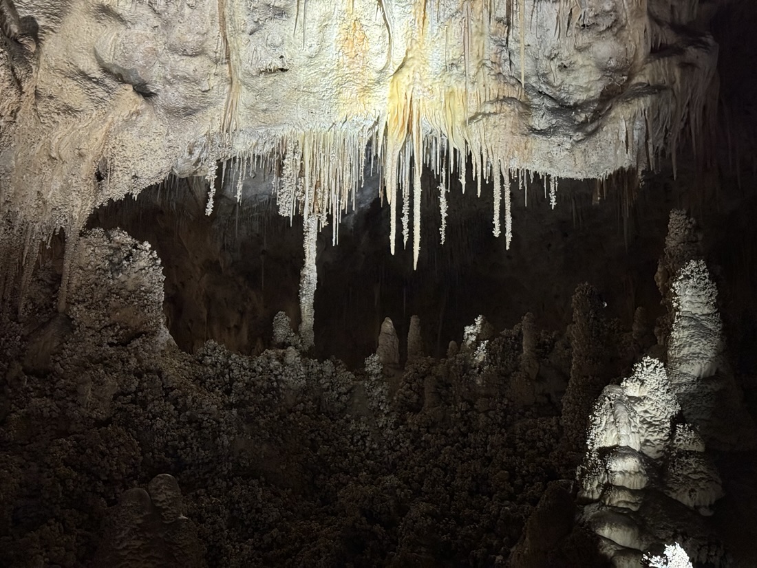
From white’s city to the Caverns is only a 15 minute drive. I arrived for the first group in. It was possible to take the natural entrance and hike another 2 miles into the Caverns, but as I wanted to drive home to Ozuye the same day, I opted for the elevator.
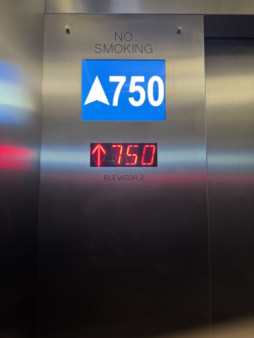
That takes you down 750 feet (228m) in a minute. I’ve visited quite a few caverns, but this one dwarfs all of them. The hiking trail through the caverns takes over an hour.
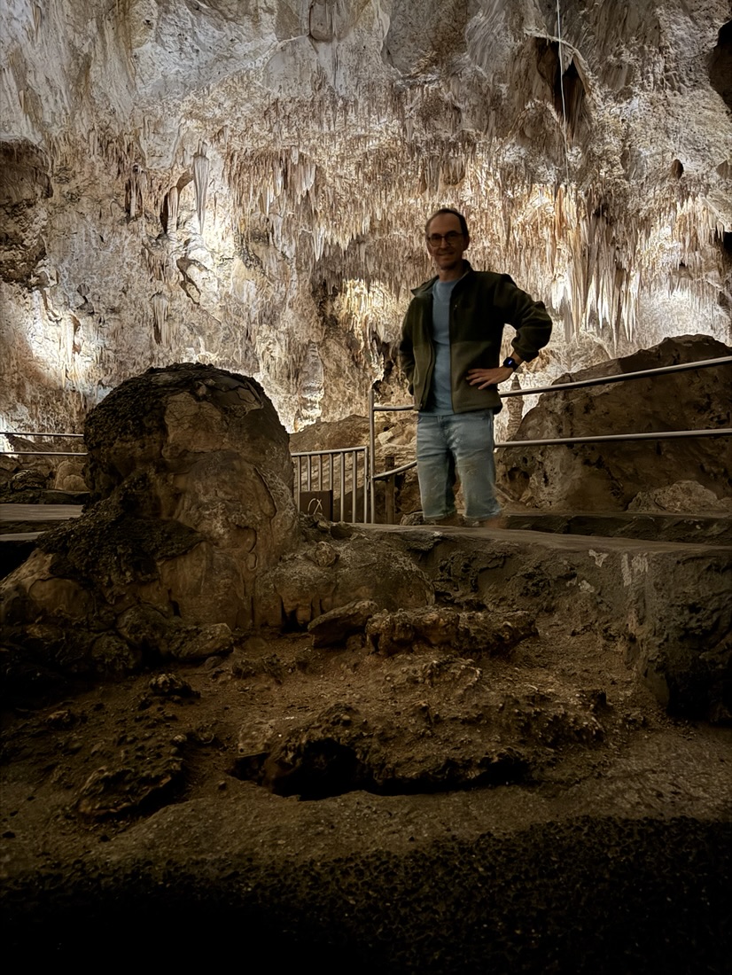
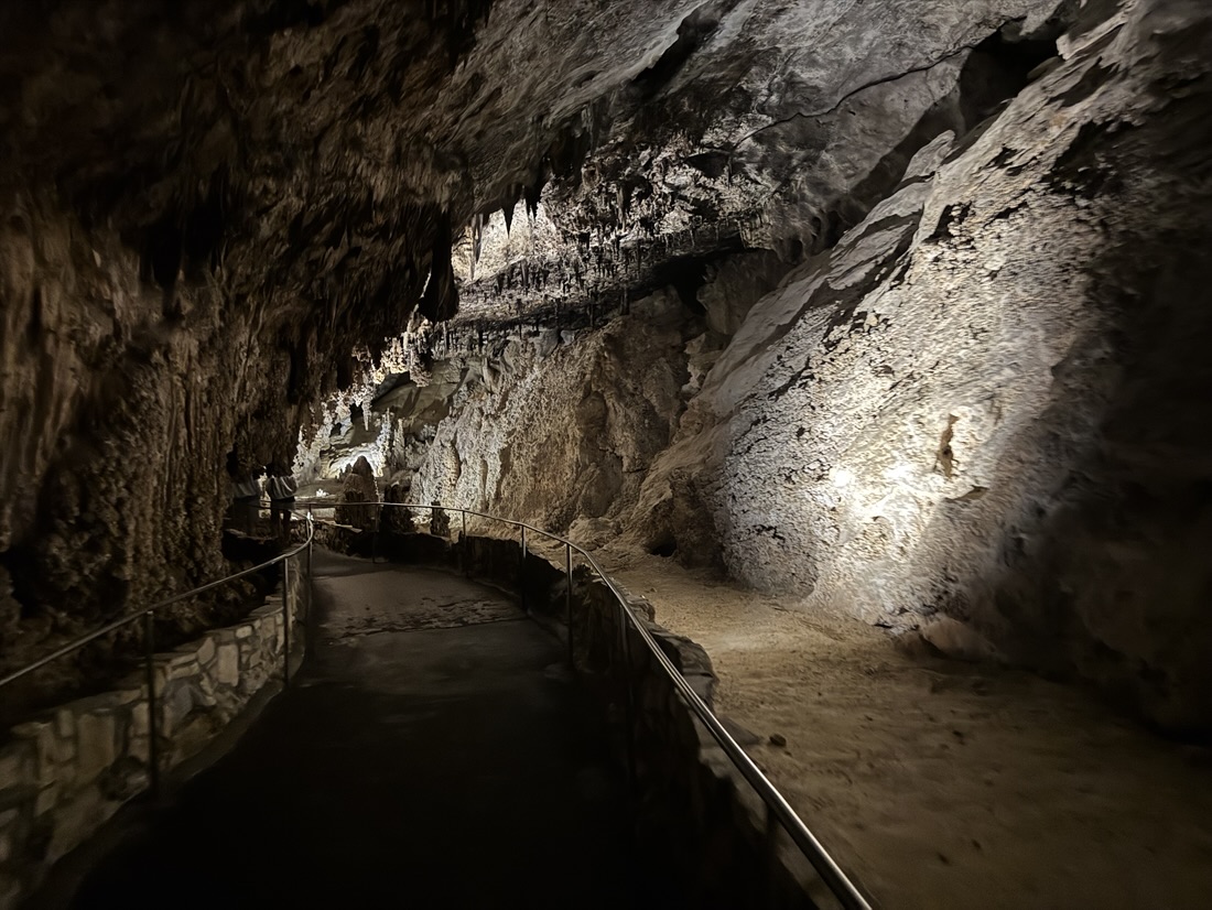
It’s kind of magical to walk through there almost by yourself.
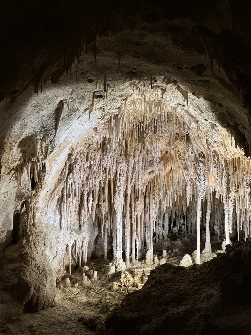
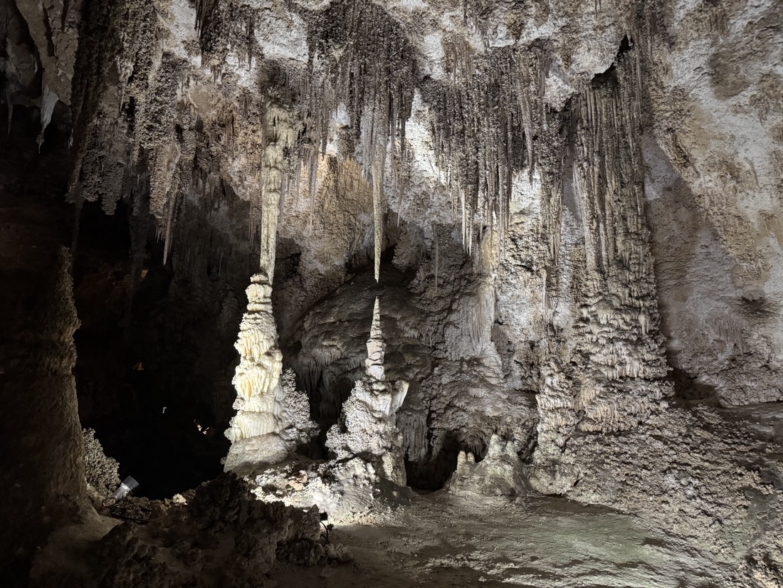
The drive back went smooth. It’s 7 hours and the 266 miles Interstate 10 is not very exciting but quick as you’re allowed to drive 80 (138km/h)
It’s now 19:45 (7:45 pm) and this road trip has come to an end. It was great fun and I’m already looking forward to the next one!
Next stop is back in Texas. That has some major advantages. Within minutes after driving into Texas, I had 5G with full bars. Much handier than the 0 anything I had in New Mexico, especially when looking up things.
My campground is inside the national park and it’s both scenic and quiet.

 Below is the view on the park as you approach it.

Today I took a hike, which was too long for my phone battery, that gave up.
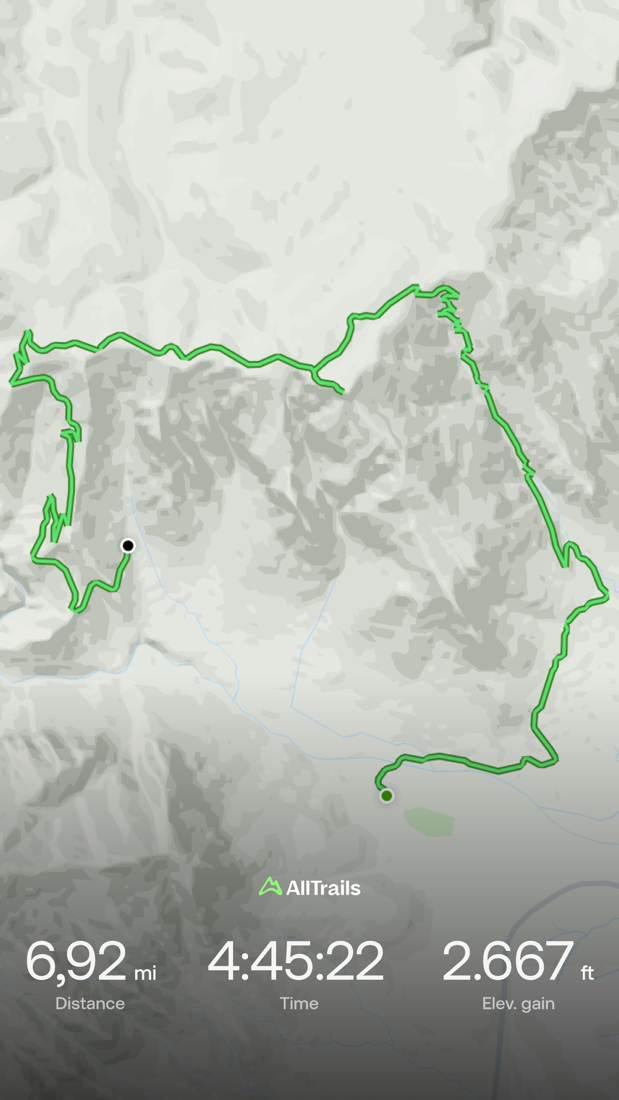
Fortunately, I had all trails app on my watch so I could finish the last 4,5 miles. All in all a strenuous hike. Halfway up Bear Canyon ran into two guys who had spent the night on the trail as they were too tired to continue.
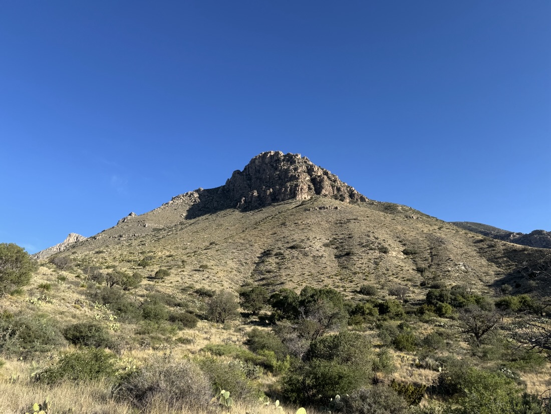
This was the goal; hunter’s peak. The first section is one continuous uneven staircase of rocks.
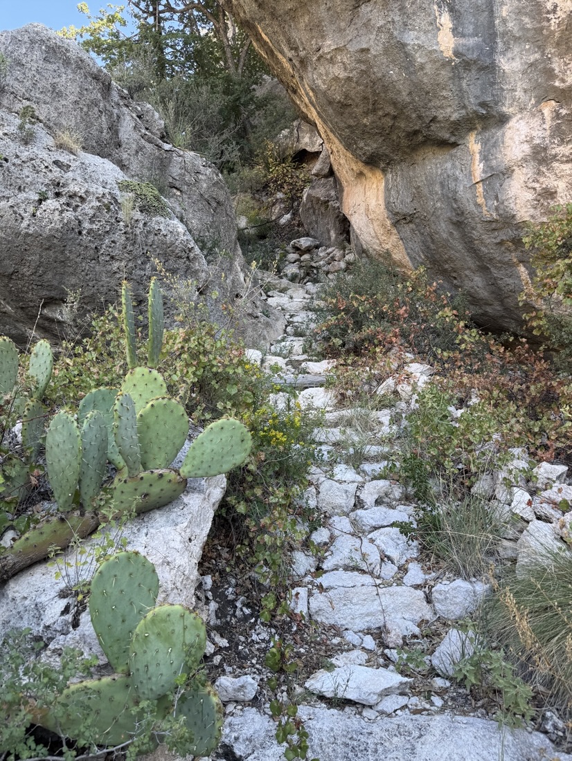
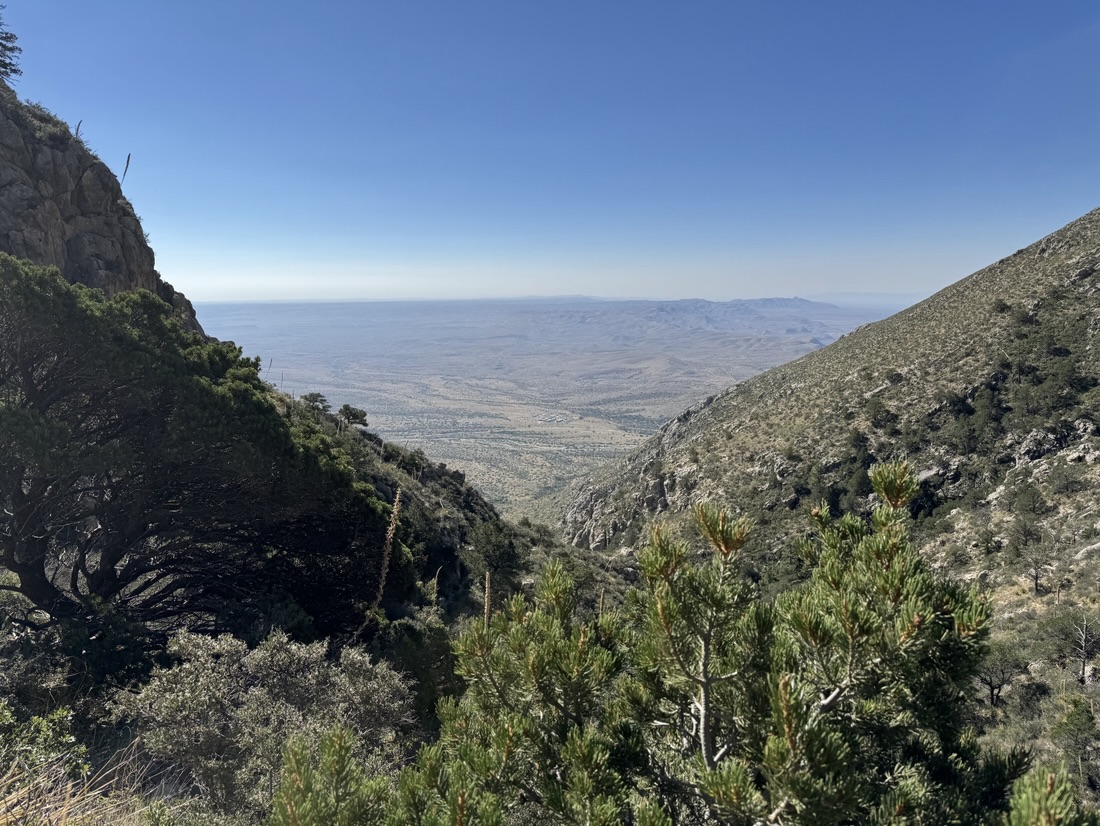
But the view got bigger each turn. I started at the buildings you see just above the V.
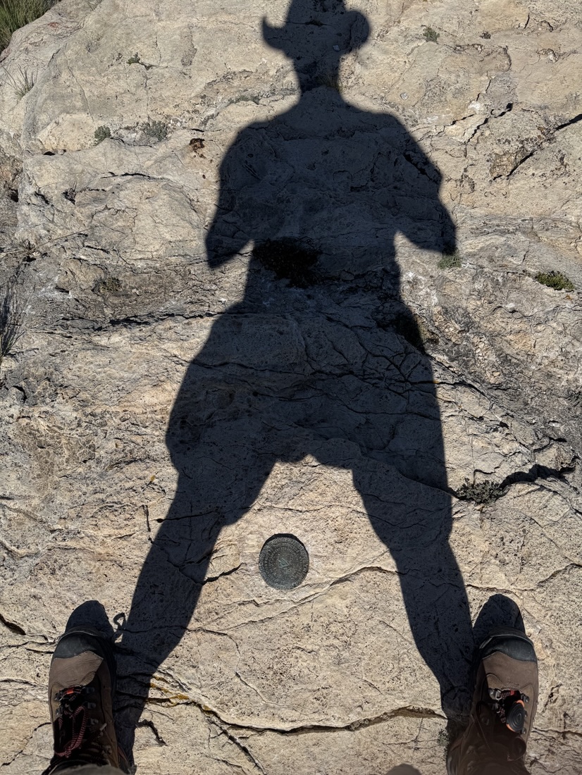
Finally made it to the top.
Then this is the view
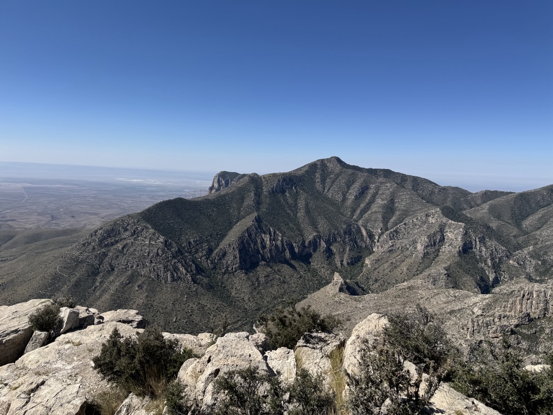
That peak you see is the highest mountain in Texas, but I could not do that one as I first had to deal with some work emails that delayed me an hour and a half.
A few minutes after the peak I almost met a snake up close. He took the attack position and hissed like there was no tomorrow.
Not knowing how far this one can strike, I kept my distance. 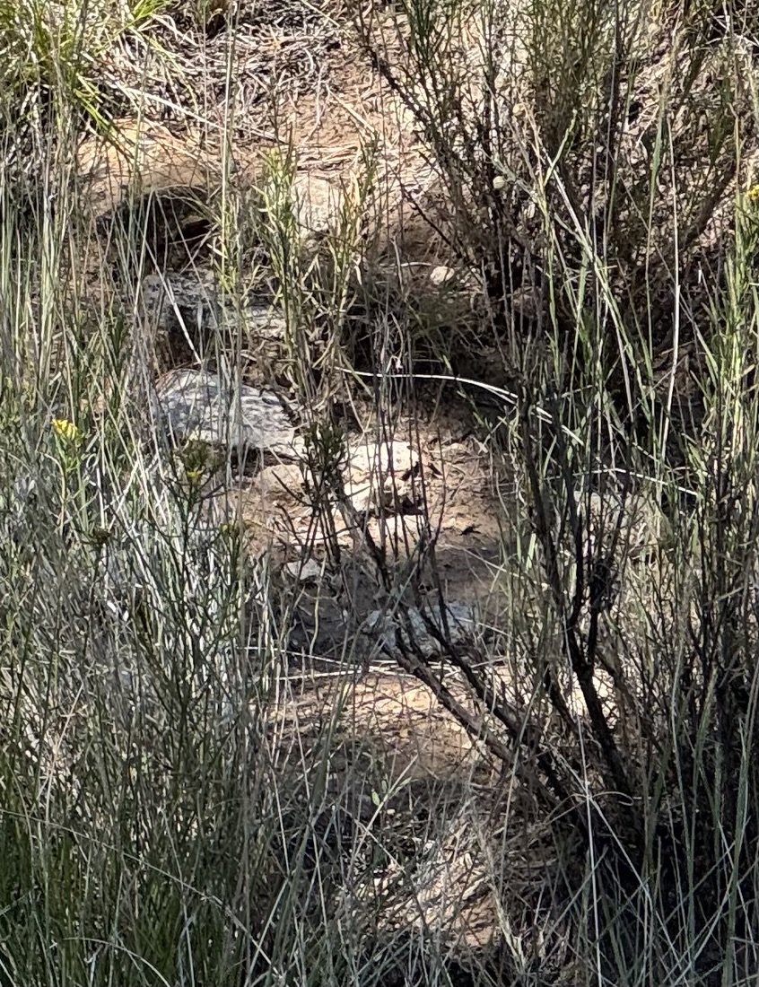
It’s hard to see but it’s in the center of the pic above. AI informs me it’s a Gopher snake, which is known for its loud hiss. He’s non venomous . But I only know that now and prefer not to get bitten by any snake, especially halfway up a 10 mile hike.
After the hike I decided I needed a shower, so drove to White’s city cavern inn, just outside the Carlsbad Caverns National Park. But they close the cave at 2 pm, so I’ll go there first thing tomorrow.
After my M6 night I drove to White Sands national park. Being Dutch I’ve seen dunes before, obviously, but the nearest sea is 10 hours of driving away. So this white dunes area is what remains of what was once an ocean here. Millions of years ago.
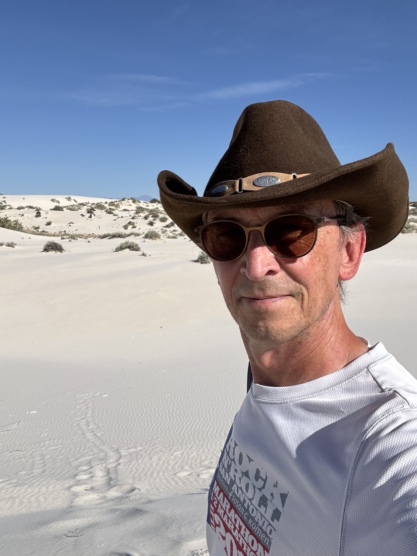
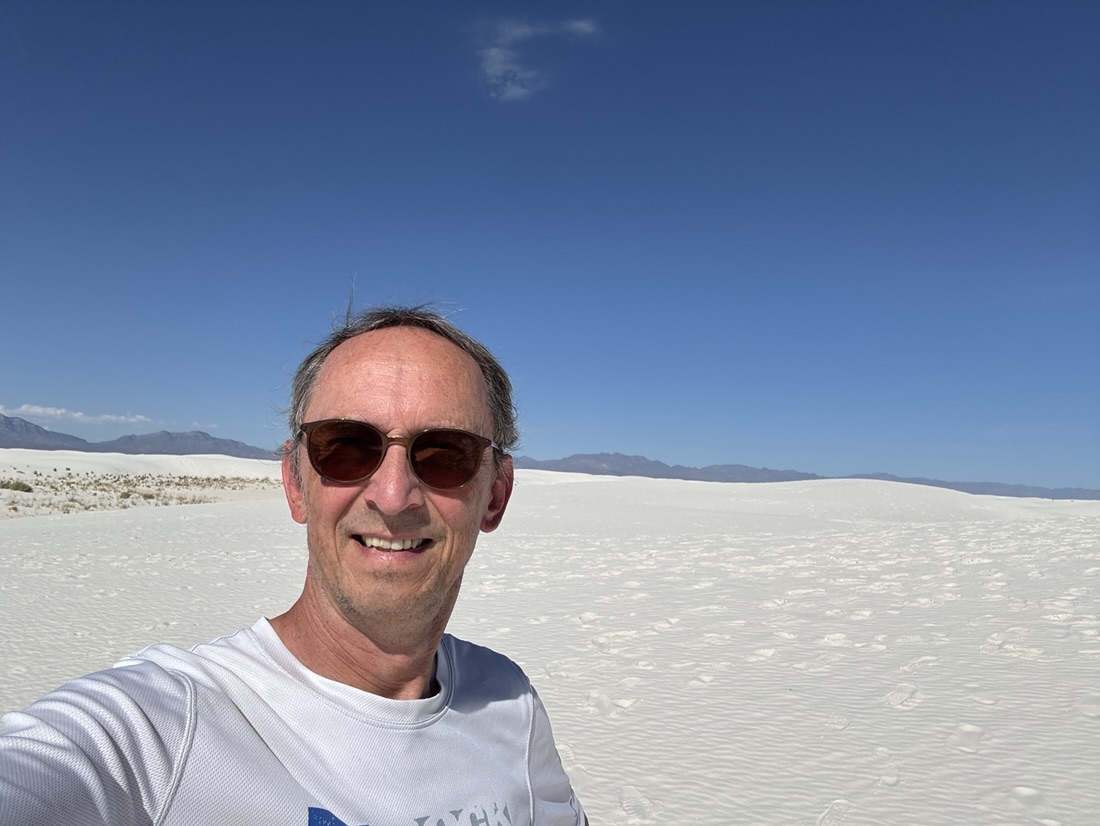
Nothing to do with the Texas Alamo, but it’s where I ended up after driving from Mesa Verde.
Long drive (10 hrs) but now only 15 minutes from white sands national park.
Drove through Albuquerque today and could not help keeping an eye out for Walter or Jesse.
Did pass this billboard of the Salamanca nephews.
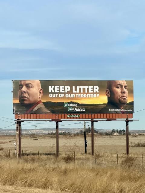
Tonight I will enjoy the Motel 6 luxury of a real bed, AC and probably the best meatloaf meal I’ve ever had at Lescombes. It was NM spiced and came with a local IPA.
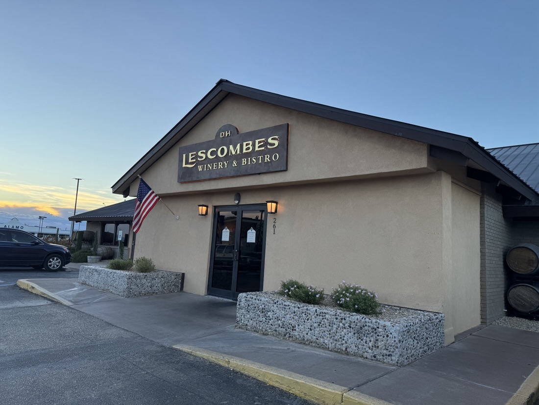
For some weird reason my KPN phone provider does not want to link to New Mexico’s providers, so since this morning I was offline until I reached the M6 motel. Apparently there’s not a good deal between AT &T and the state of New Mexico, as having no connection seems to be a common thing.
After my visit to White Sands, I will head to Guadeloupe national park, which is in Texas, so there I should be connected again.
Just arrived at Morfield Campground inside Mesa Verde national park Colorado.
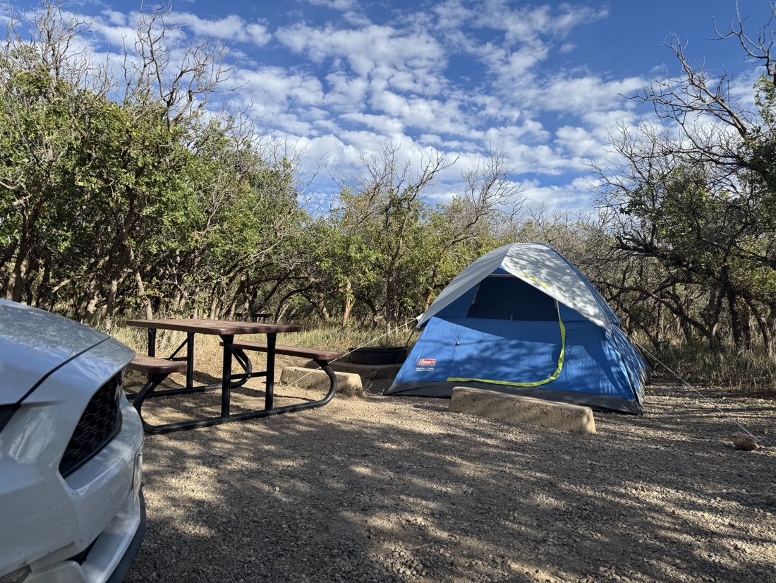
There was a bear sighting but these sites come with a bear locker to store all food in. Did not see or hear a bear.
Made a short hike here to the top of the nearest peak.
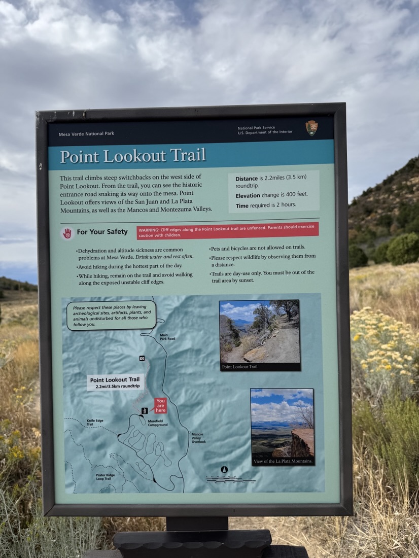
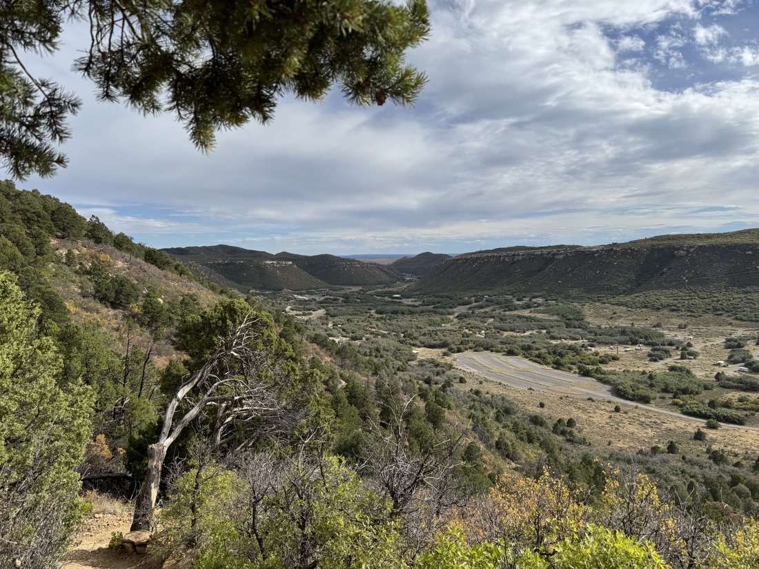
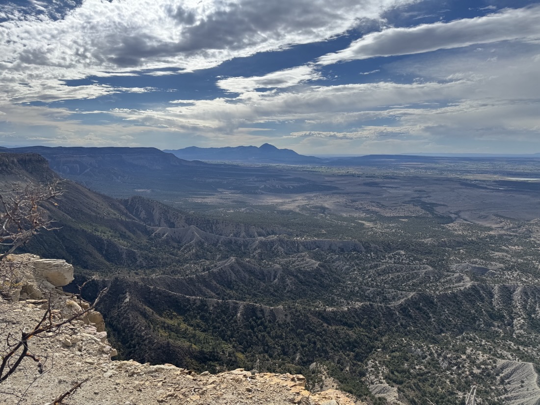
in the morning I took some more pictures before heading to White Sands national park (New Mexico, a drive over 500 miles.
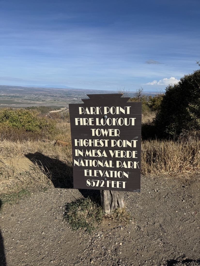
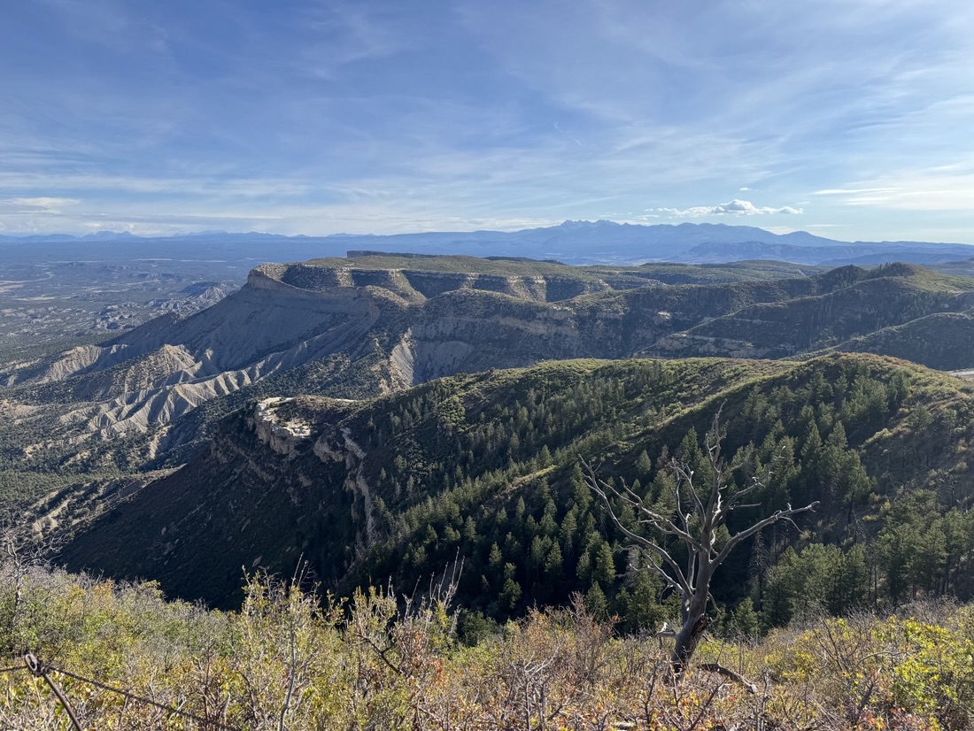
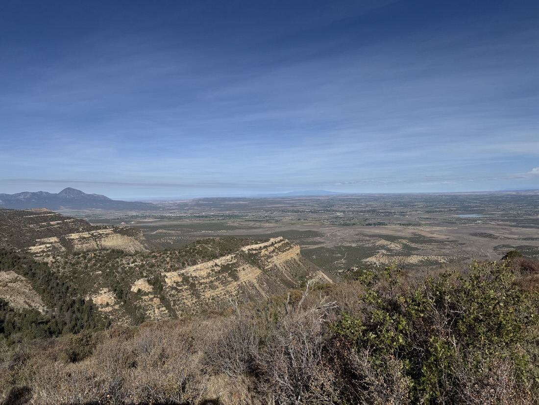
In Utah, the predominant color was red. In Mesa Verde it’s logically green. Parts of the drive weren’t gorgeous as it went through an area that was burned down just a few years ago.
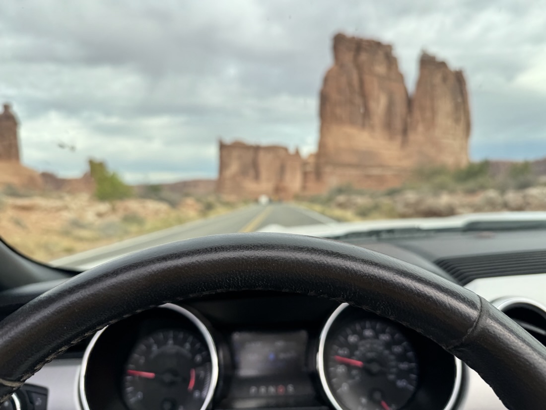
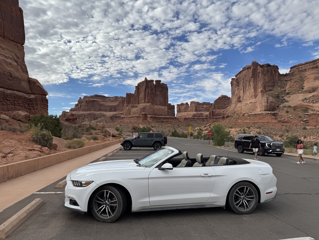
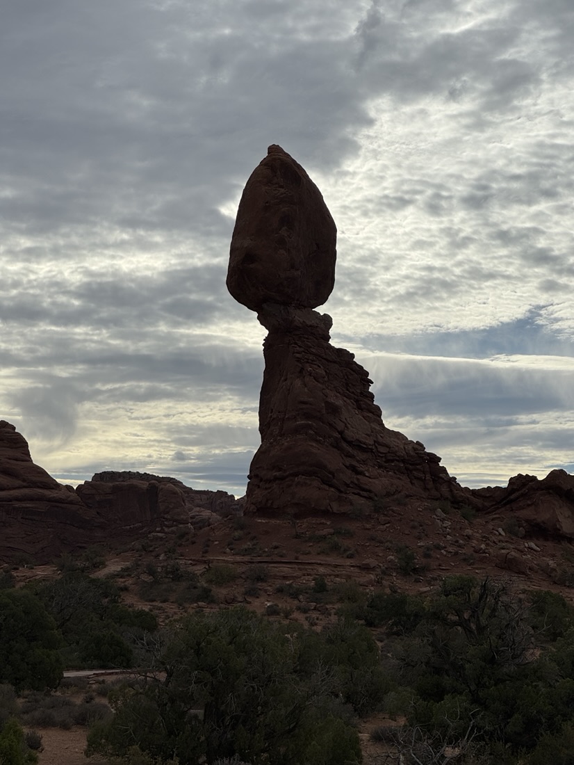
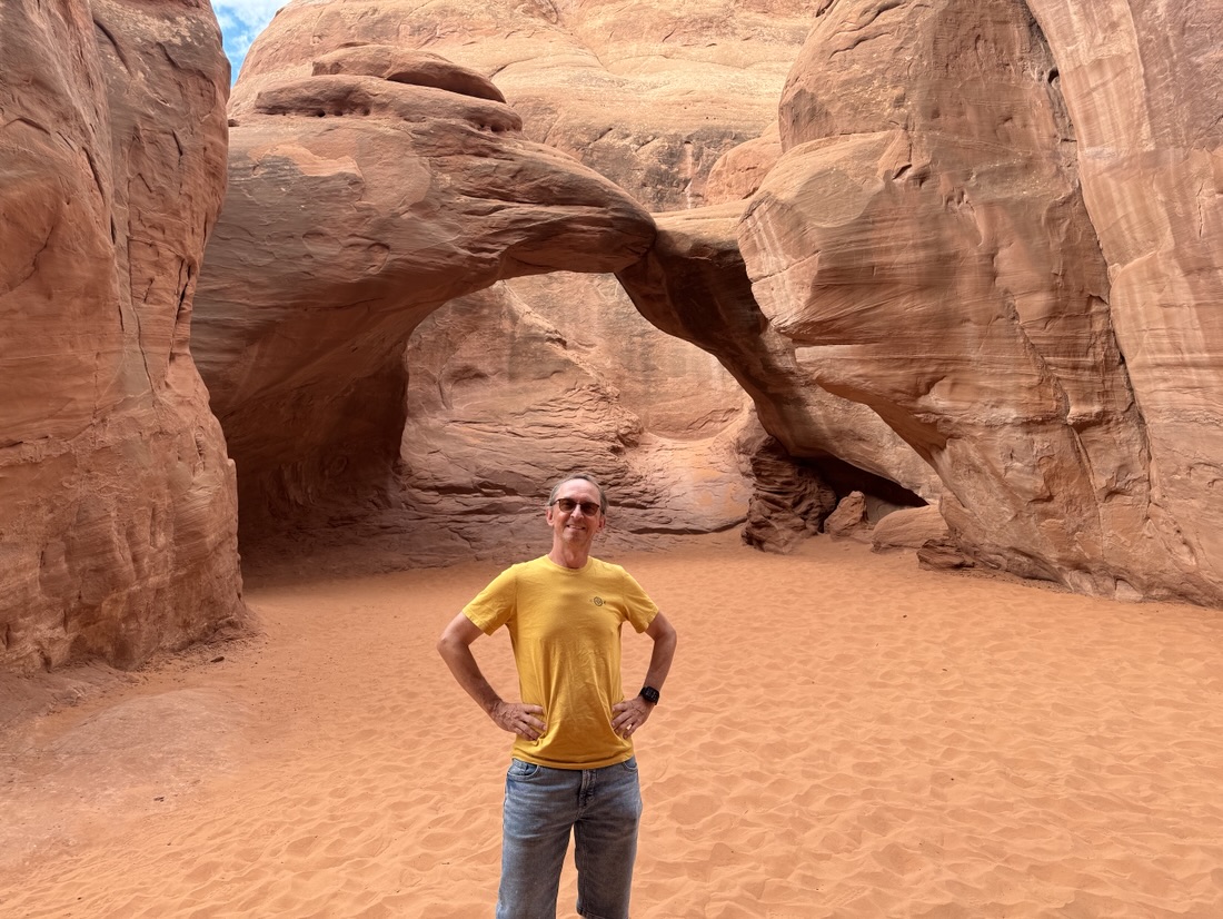
Close to Moab is the Arches National Park. As I also wanted to drive to Mesa Verde National park later today, I made this one mostly a driving trip.
Some clouds today but still nice weather.
Very scenic drive.
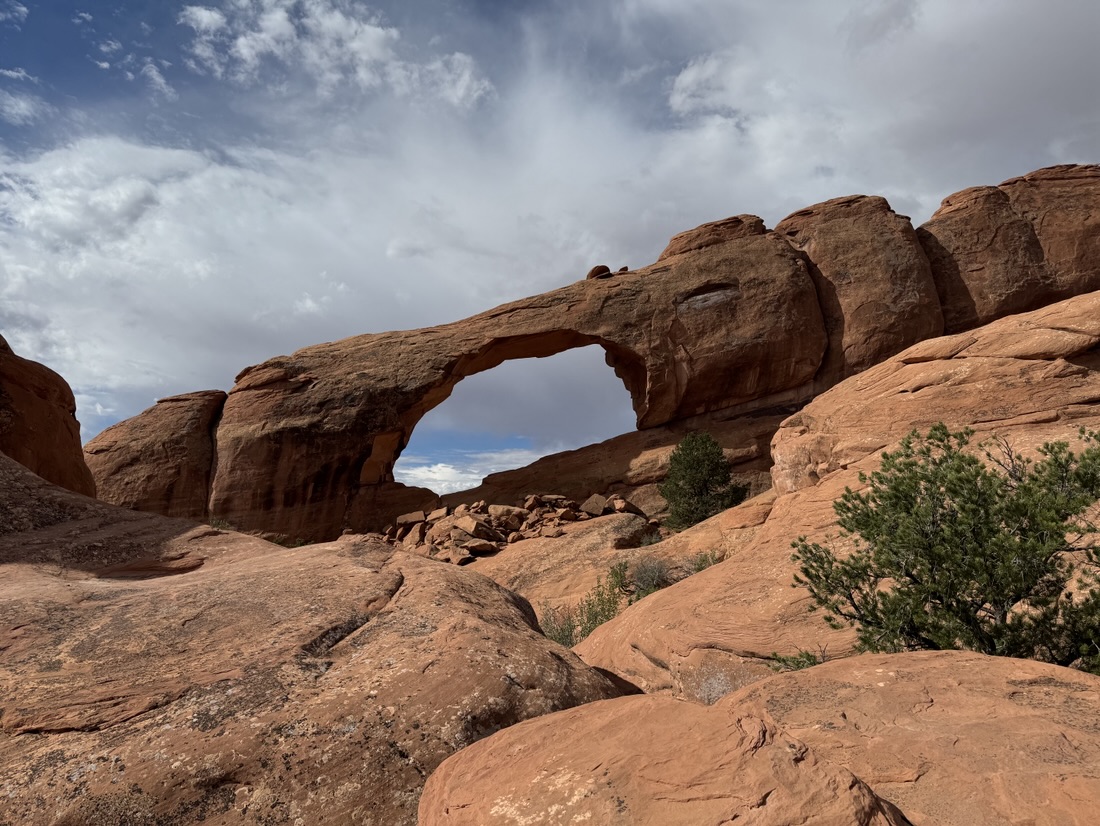
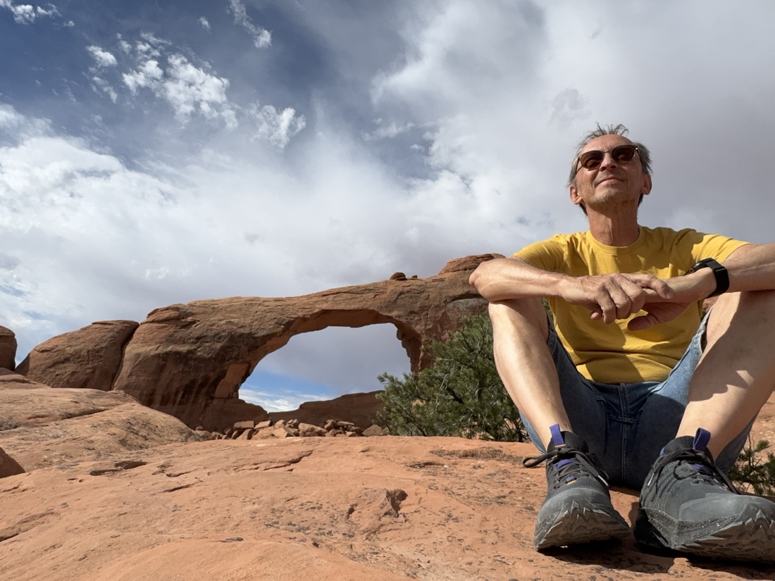
Moab is a small town a bit further up north in Utah. Not as small as Monticello and not as big as Durango. After my Dead Horse point hike I set up camp here.
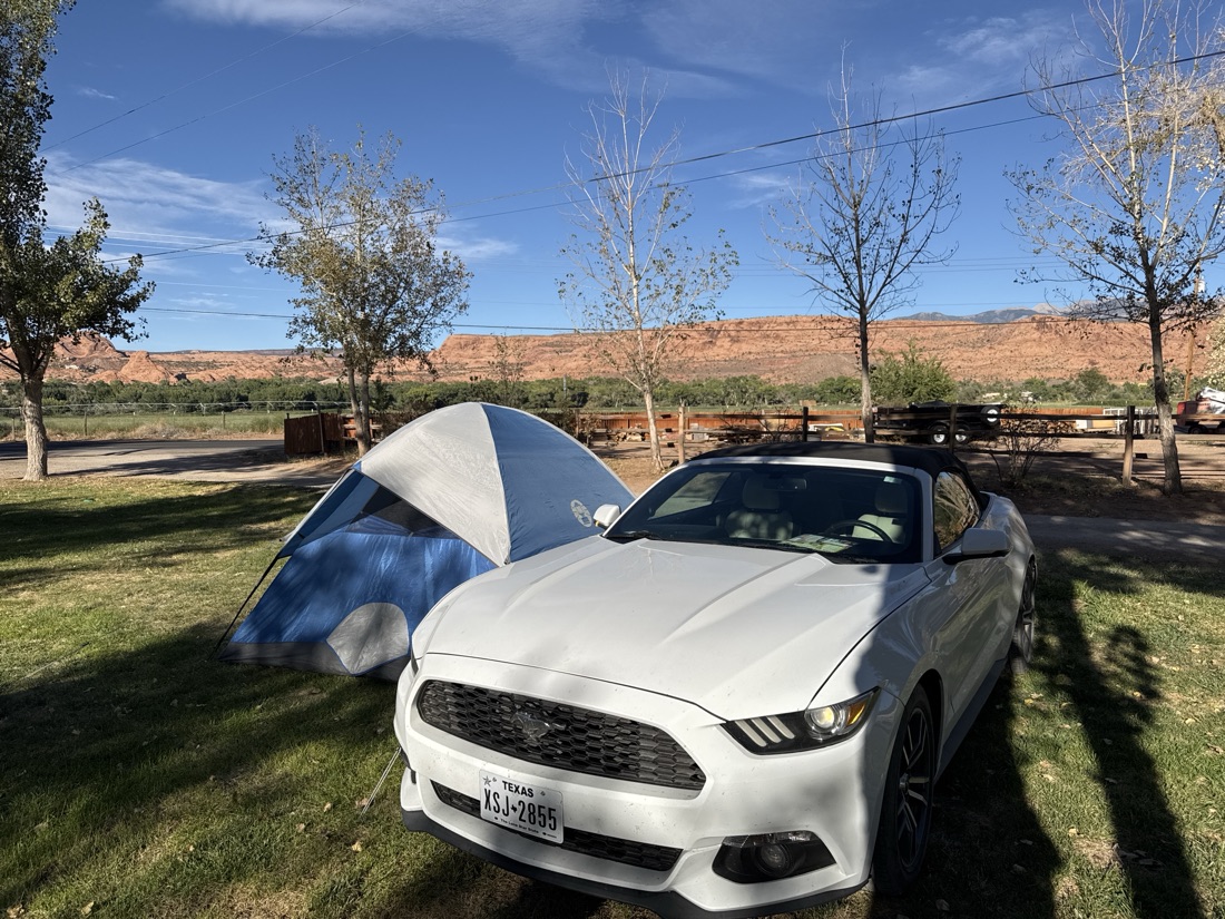
The Moab RV & Glamping resort ( they also offer tipis and cabins) is south of Moab. I chose this one because most campgrounds tend to be right on the highway and this one is not.
Not an appealing name for a place. But it was much better than it sounds.
Dead Horse Point gets its name from a grim 19th‑century cowboy legend:
Cowboys used the narrow peninsula as a natural corral for wild mustangs. They would drive the horses across the 30‑yard‑wide “neck,” block it off with brush, and sort the herd. According to the story, one group of horses was accidentally left behind on the point — a place with no water. The animals died of thirst while looking down 2,000 feet at the Colorado River below, unable to reach it.
It’s not a place to be left at without water. You can see water, but can’t reach it. Although you can drive up to the furthest viewpoint, I decided to hike from the visitor center.
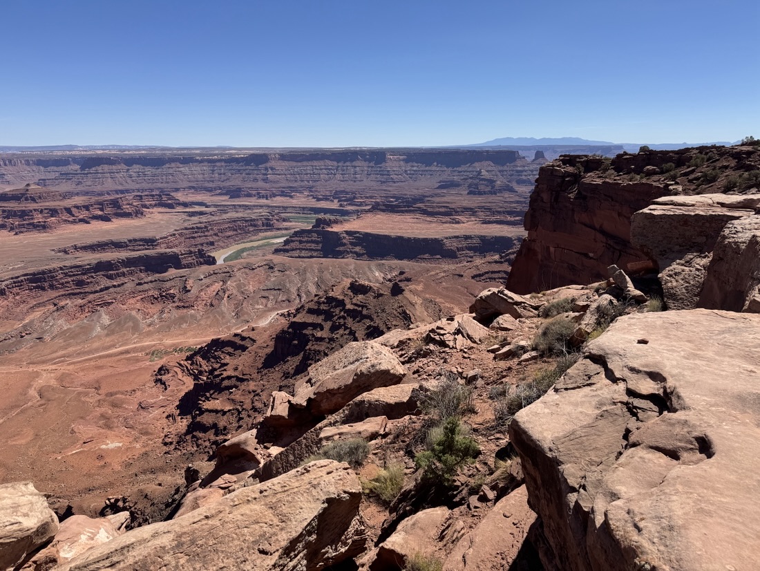
Pictures hardly ever do justice to the vast views 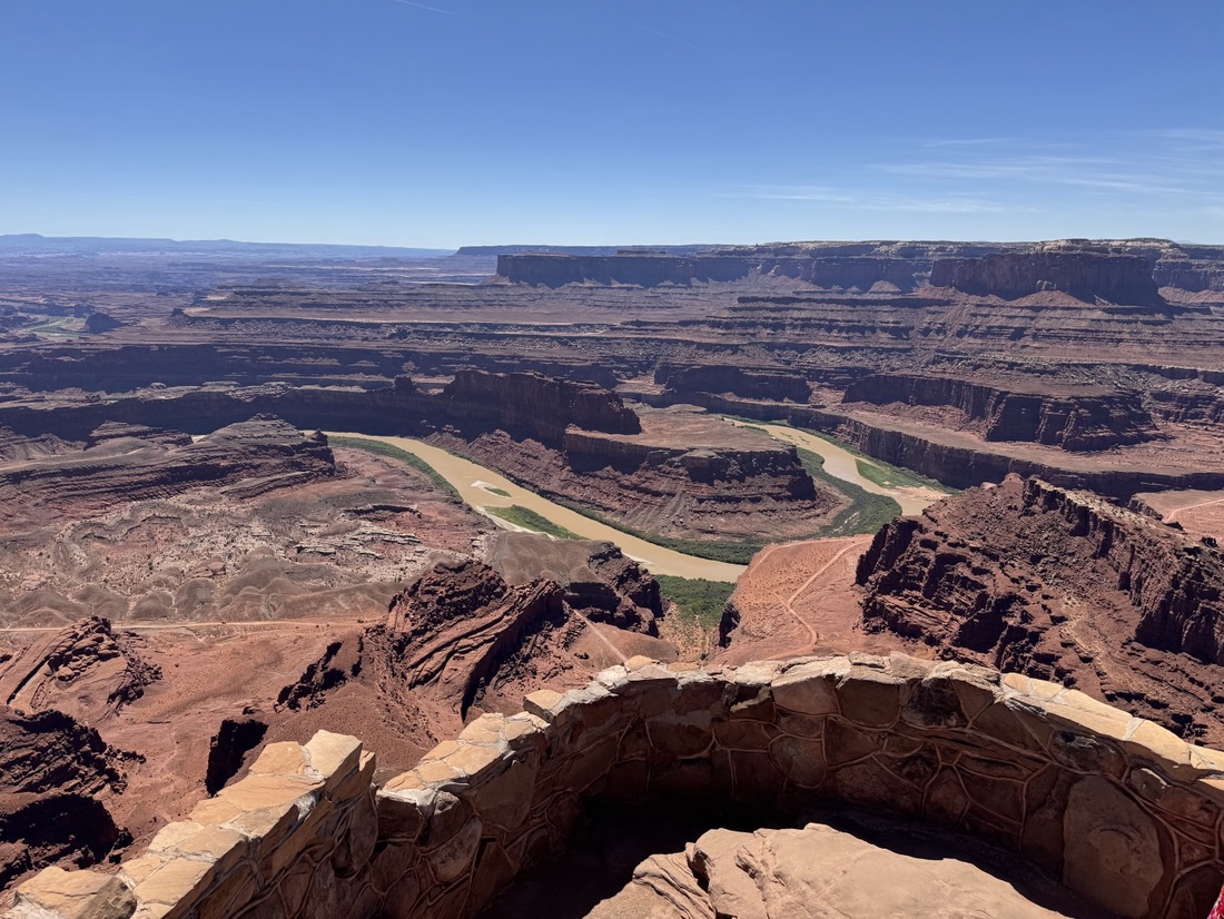
Zoomed in 2x
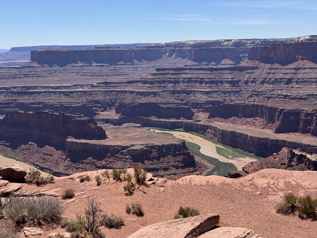 zoomed in 3x
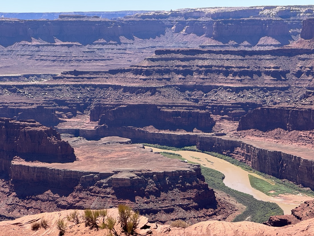 maximum zoom. The water is green.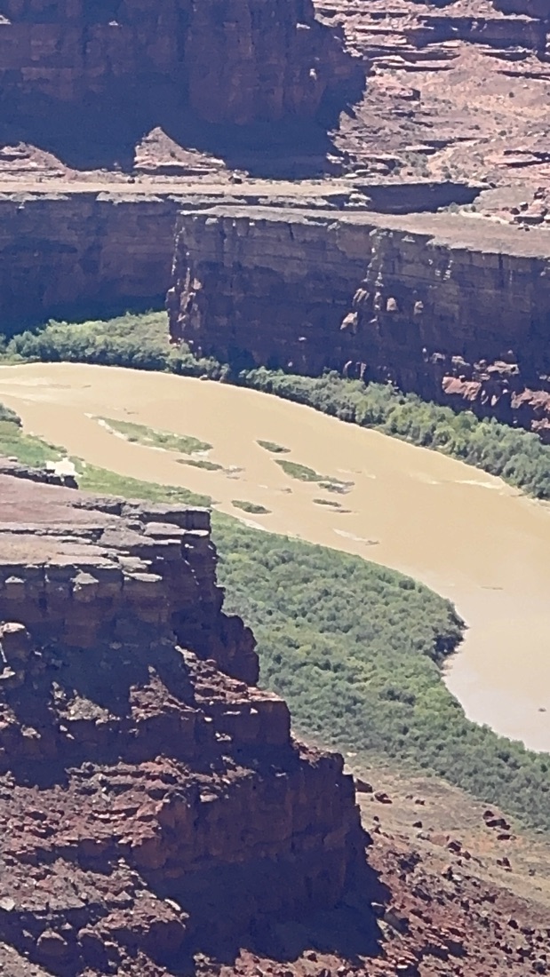
The hike was scenic but easy; mostly flat. I bet it looks even nice in spring when the ice melts into the Colorado river. 250 million years ago this area was flat. The water flowing from the Colorado river eroded this 2000ft (700m) deep canyon.
After my natural bridges hike I opted for a higher ground camp site, as they cool down nicely around this time of year.
So Monticello it is for tonight
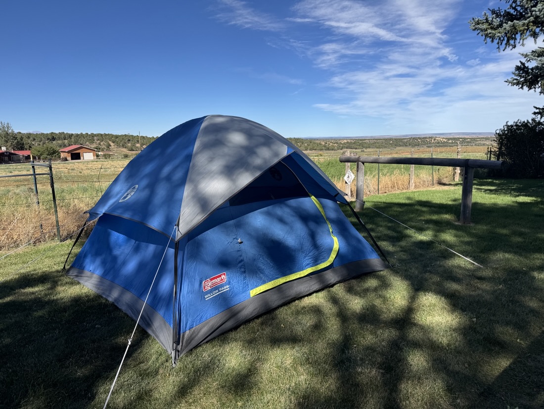
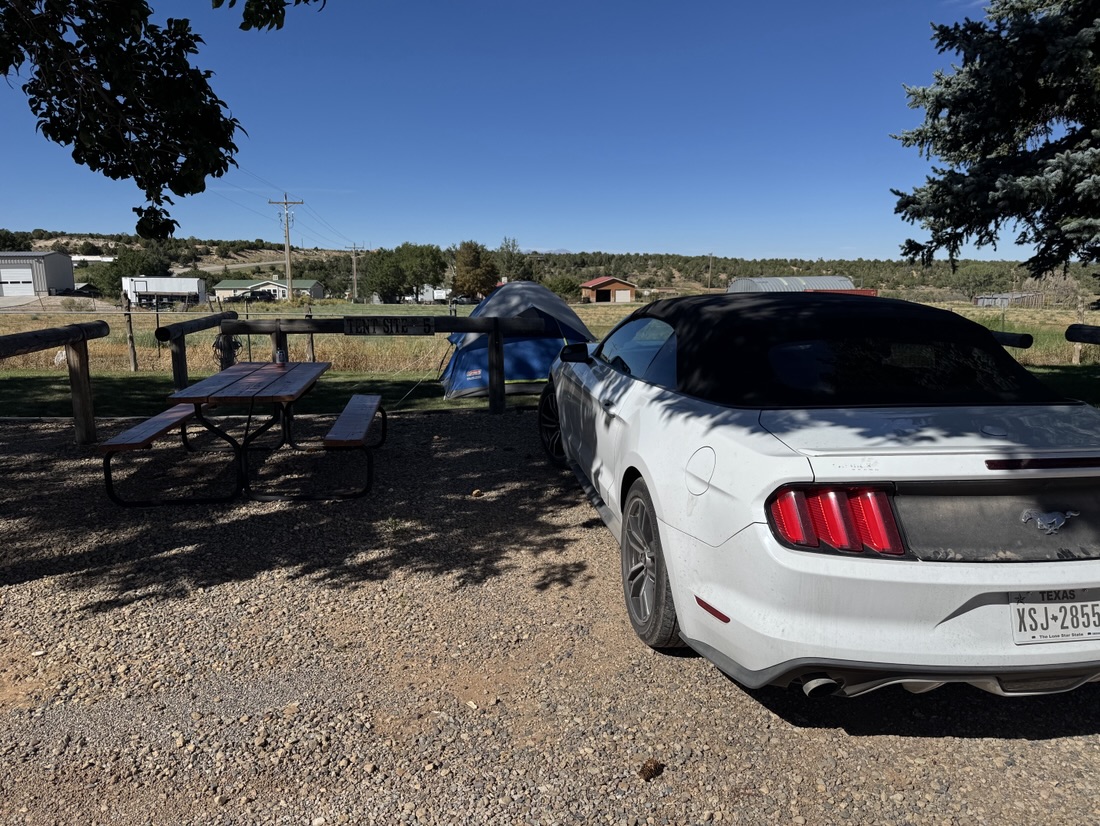
What I like about this place is that it has both restaurants and grocery stores at walking distance.